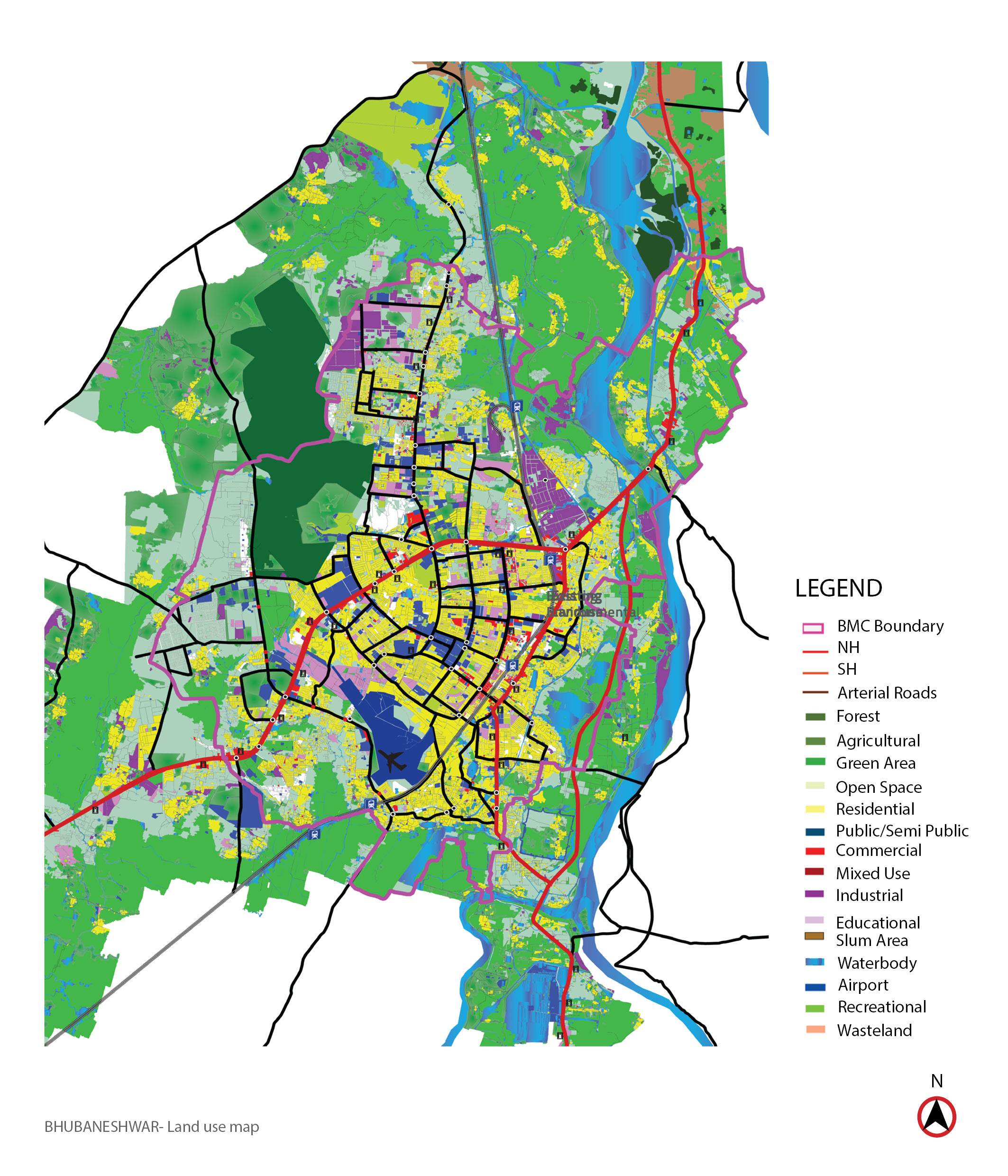
A tripartite MoU was signed between Janaagraha Centre for Citizenship and Democracy, Tata Trust and the Department of Housing and Urban Development, Odisha with a vision to improve the quality of life for all through four core themes;
(i) Urban Planning and Design
(ii) Urban Capacities and Resources
(iii) Empowered and Legitimate Political Representation
(iv) Transparency Accountability and Participation
Jana Urban Space undertook the GIS spatial mapping of 4 towns in Odisha – Bhubaneshwar, Cuttack, Paradip and Puri as part of the first theme.